Researching Beach Nesting Birds at Edwin B. Forsythe National Wildlife Refuge
Conserve Wildlife Foundation Partners with National Wildlife Refuge to Collect Data on Beach Nesting Birds
Posted by: Lindsay McNamara, Communications Manager
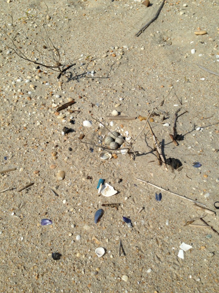
Did you know barrier island beach makes up approximately 2% of the Edwin B. Forsythe National Wildlife Refuge? This area is the most productive for beach nesting birds. The federally threatened piping plover and other species such as least tern, black skimmer, and a species of special concern, the American oystercatcher, nest on Holgate Beach. The refuge closes the Holgate unit from April 1st to September 1st every year to provide undisturbed nesting habitat for these important species.
Not only is it important to protect nesting habitat for the birds, but it is also important to provide education opportunities to the public. Each summer, the refuge relies on volunteers during the summer months to talk to the public about the beach closure and bird management, and answer any general questions about Forsythe Refuge.
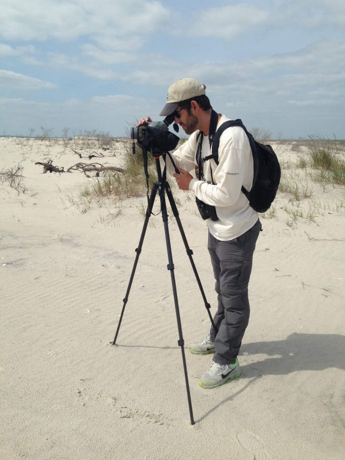
This year, Conserve Wildlife Foundation of New Jersey partnered with the refuge to assist in the collection of nesting data. “In the past, refuge staff has done all the beach nesting bird monitoring,” said Refuge Manager Virginia Rettig. “This year we are very excited to be working with our partners to monitor the population status of these birds. The work they are doing, combined with the data they collect, will improve our understanding of beach nesting birds on Forsythe Refuge.”
“Holgate provides highly suitable undisturbed natural habitat for at-risk beach nesting birds, especially piping plover – a rarity along the otherwise highly developed and recreated New Jersey Coast,” said Todd Pover, CWF Beach Nesting Bird Project Manager. “Maximizing productivity at this site is a high priority for regional and range-wide recovery efforts.”
Edwin B. Forsythe National Wildlife Refuge protects more than 47,000 acres of sensitive wetlands, marshes, and coastal habitats along the New Jersey shore. It is one of the most important habitats for migrating waterfowl and shorebirds east of the Mississippi River.
Learn more:
–Conserve Wildlife Foundation’s Beach Nesting Bird Project
–Edwin B. Forsythe National Wildlife Refuge
Lindsay McNamara is the Communications Manager for Conserve Wildlife Foundation of New Jersey.
Discover more from Conserve Wildlife Foundation of NJ
Subscribe to get the latest posts sent to your email.